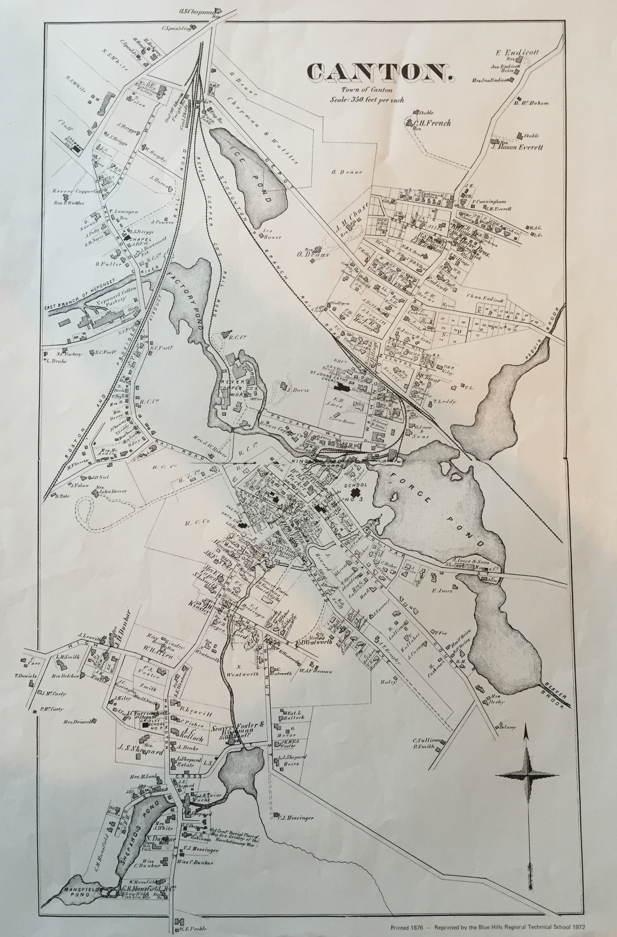
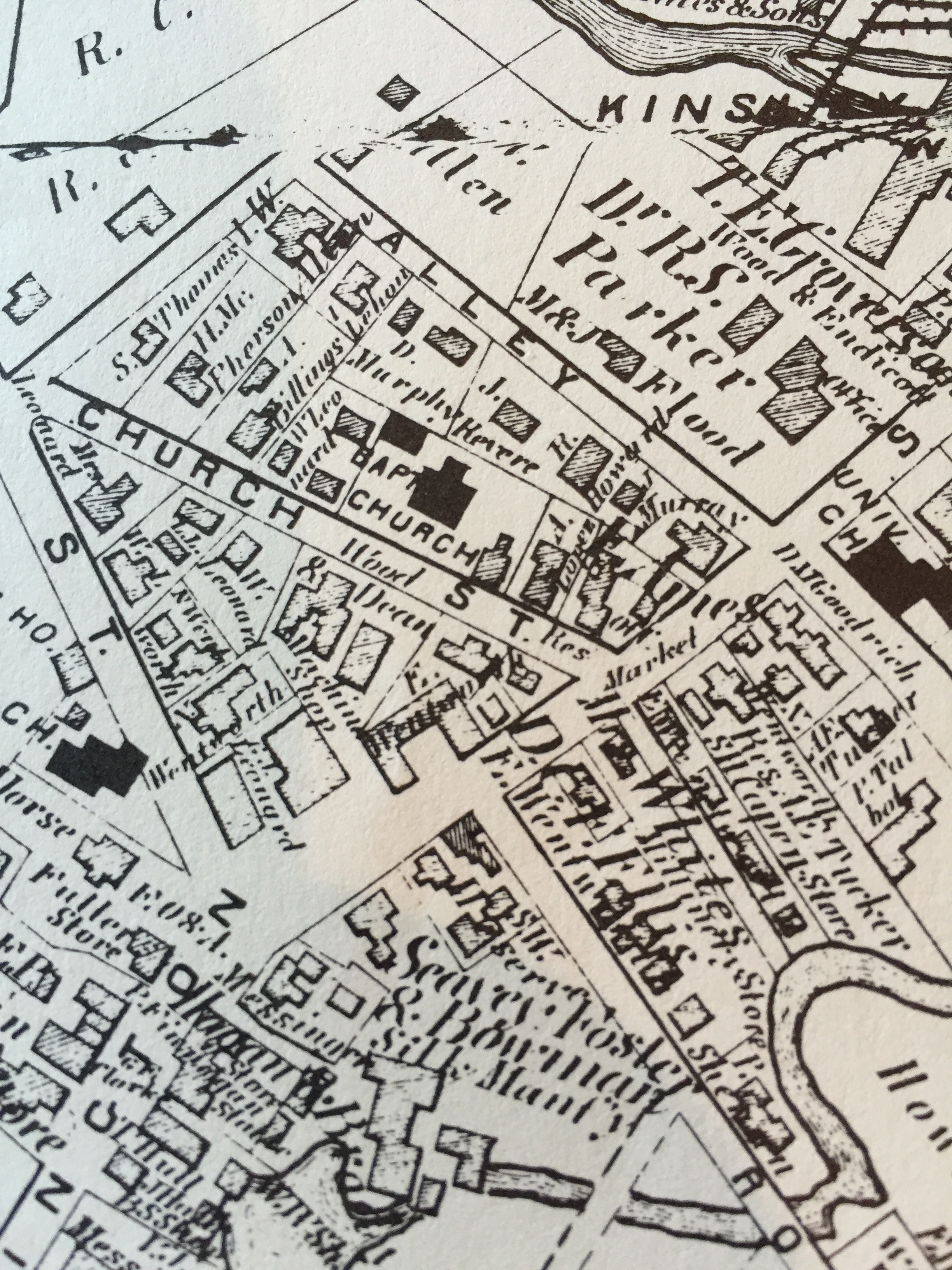
Map of Canton 1876 (plus bonus maps)
SKU:
$15.00
$15.00
per item
A highly detailed map of the Town of Canton suitable for framing and wonderful to grace any home. This map shows the factories, houses, and the railroad as Canton grows through the late 19th century.
Three additional maps complement this purchase for a limited time only.
Measures approximately 16 x 22. Mailed rolled in tube.
Reprint of an original printed in 1876 - reprinted by the Blue Hills Regional Technical School in 1972.
Price includes shipping and handling.